
Scout & Aerial / Property-line visuals
Property-line visuals
Help viewers understand which piece of land they are looking at.
About the service
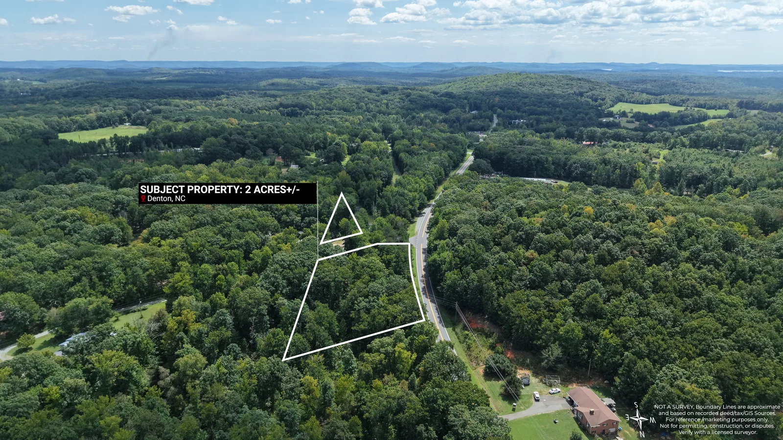
Scout & Aerial creates approximate property-line visuals for real estate marketing throughout Central North Carolina and Southern Virginia.
Boundary graphics are added to aerial photographs to help viewers understand the general shape and location of a parcel, especially on vacant land, acreage, irregular parcels, and wooded property where boundaries are difficult to interpret from photography alone.
These graphics are intended for marketing and visual reference only. They are not surveys and do not establish legal property boundaries.
Service areaCentral North Carolina and Southern Virginia.
Your next project
Let’s put the right coverage together.
Choose your services, review an estimate, or get in touch to discuss the scope.