
Scout & Aerial / Orthographic site imagery
Orthographic site imagery
See the whole site in one detailed overhead image.
About the service
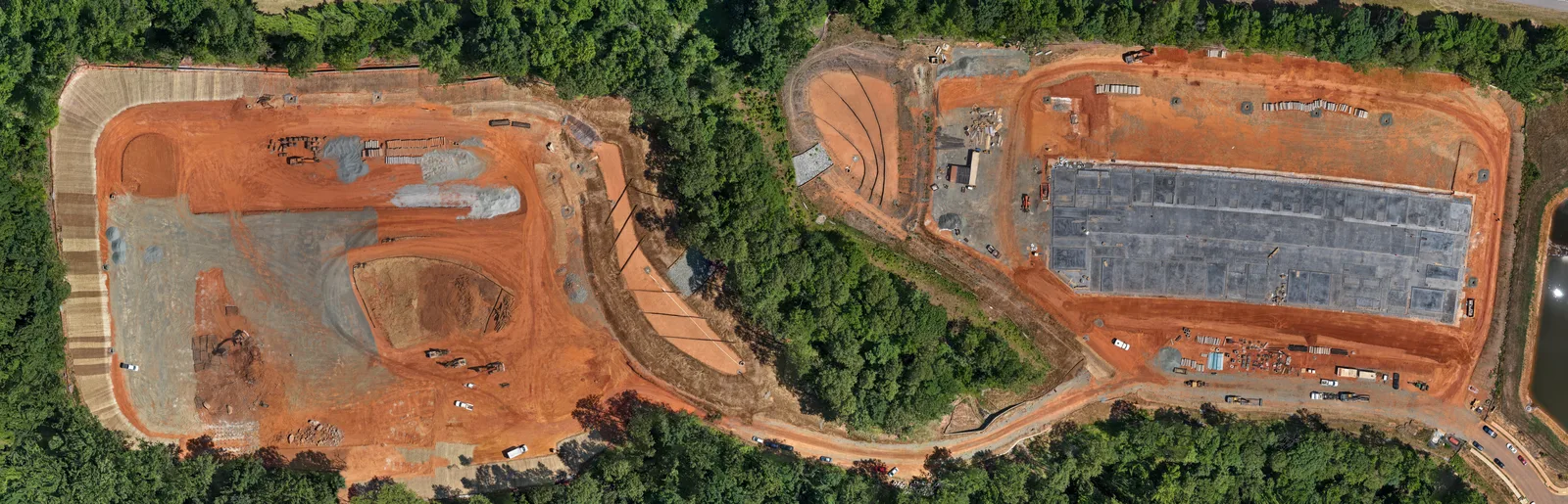
Scout & Aerial provides orthographic-style site imagery for land, construction, commercial property, and general property documentation throughout Central North Carolina and Southern Virginia.
A series of overlapping aerial photographs is combined into a larger overhead image that provides more detail and coverage than a single high-altitude photograph.
These images are intended for visual reference, documentation, presentation, and marketing. They are not surveys, engineering products, or measurable geospatial deliverables.
Service areaWinston-Salem through Raleigh, south to Charlotte, north to Roanoke, and surrounding areas.
Your next project
Let’s put the right coverage together.
Choose your services, review an estimate, or get in touch to discuss the scope.