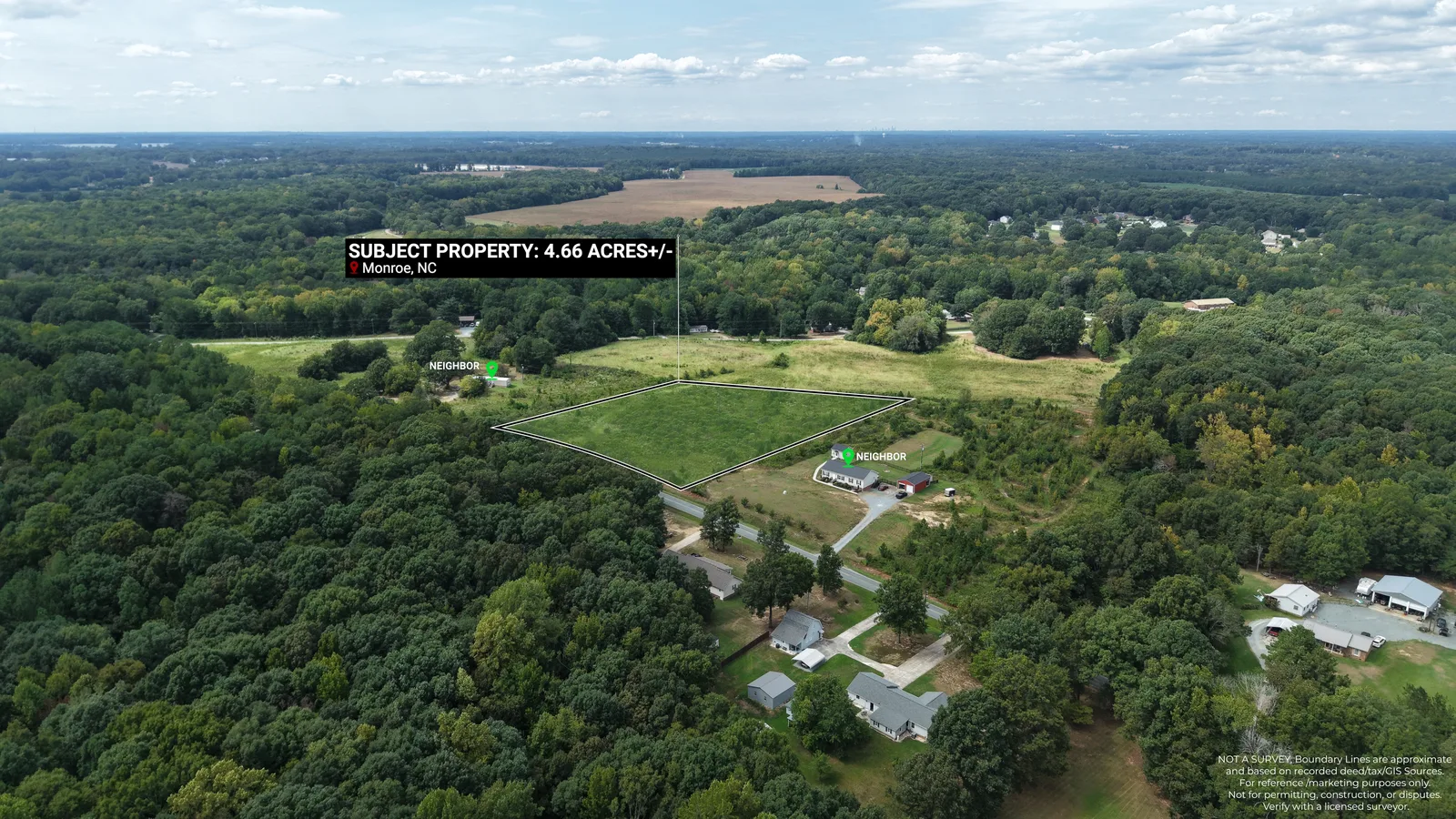
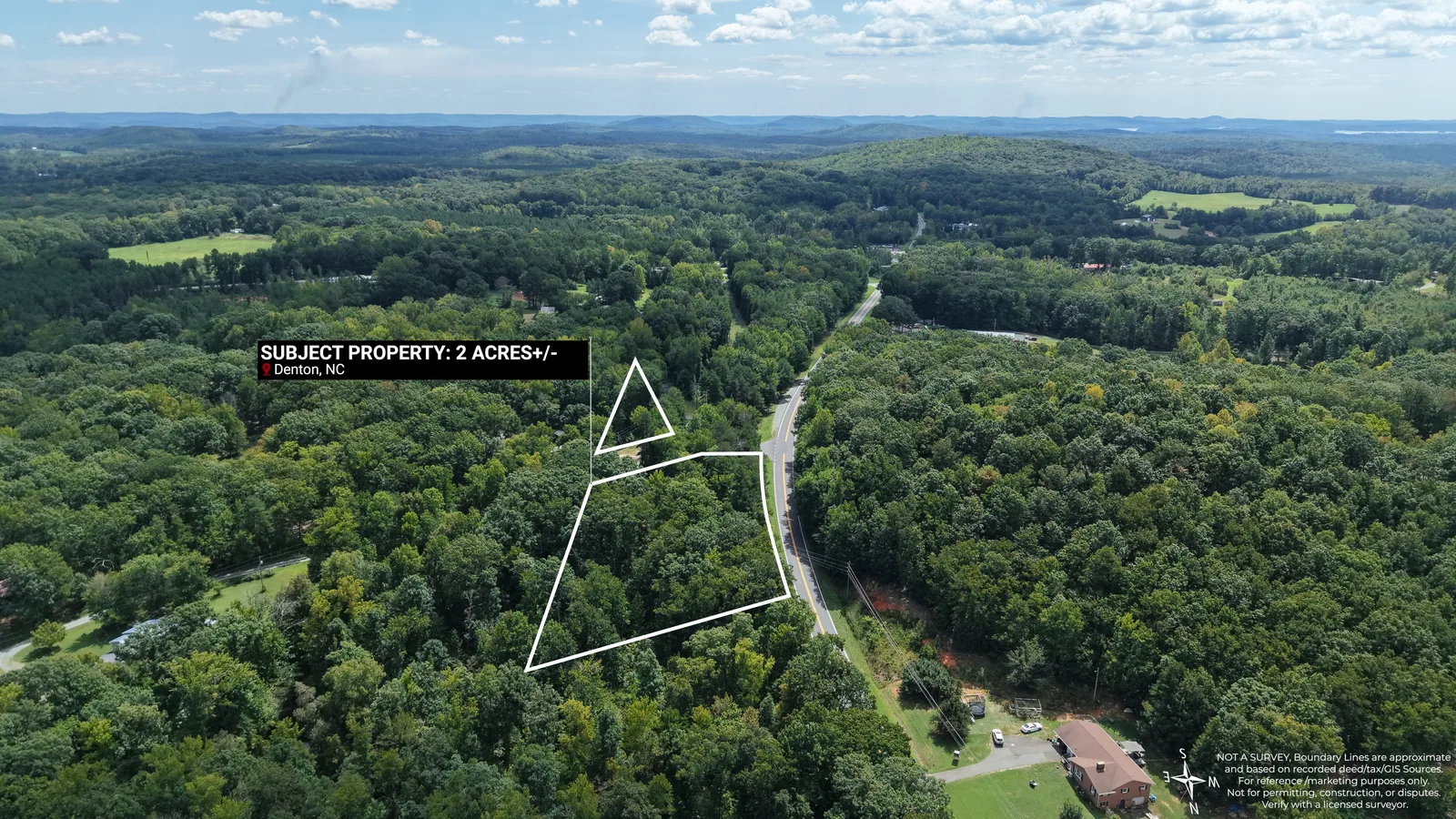
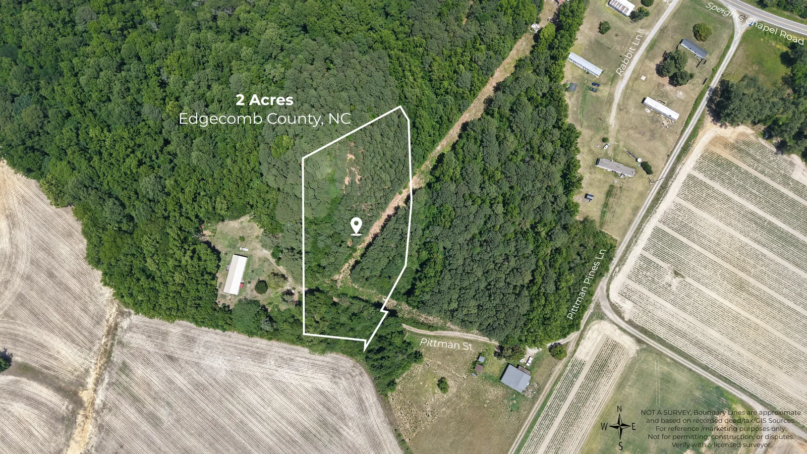
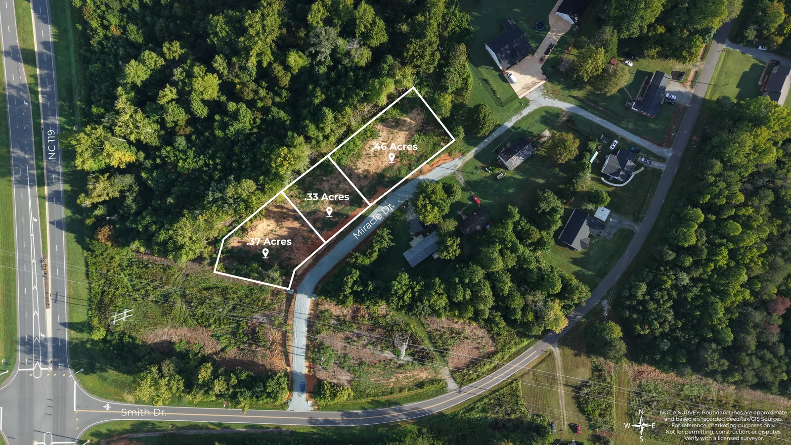
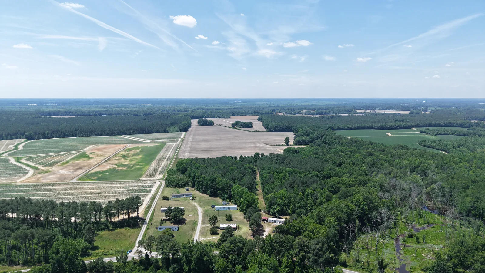
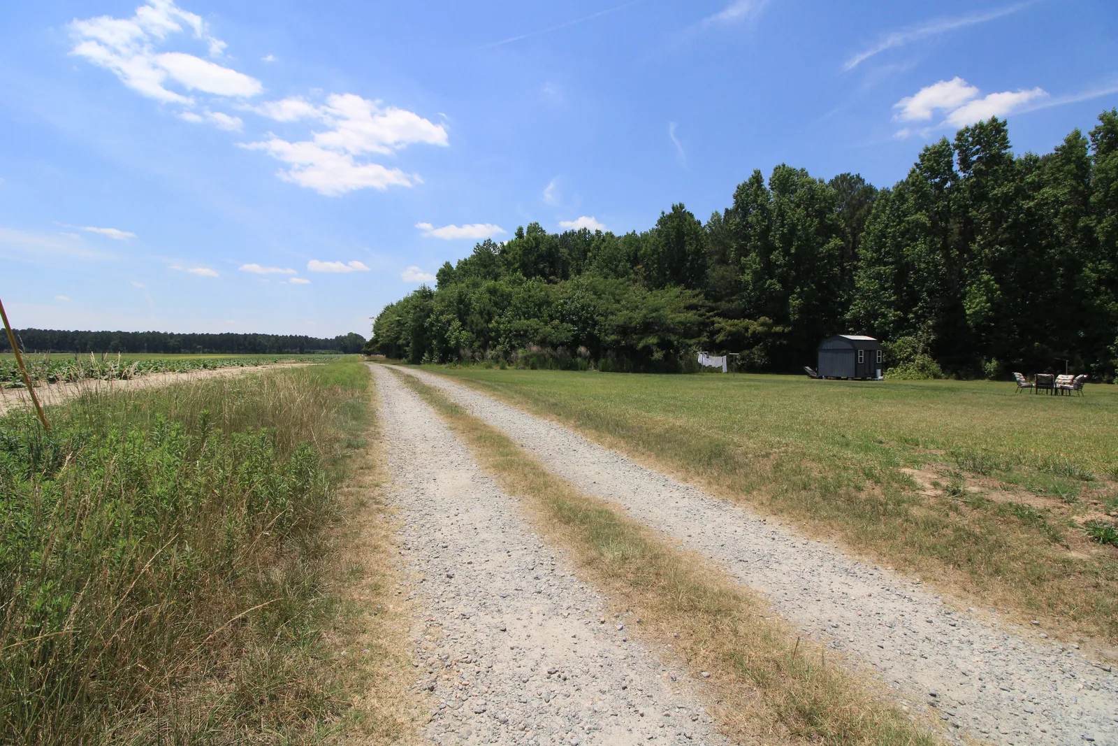
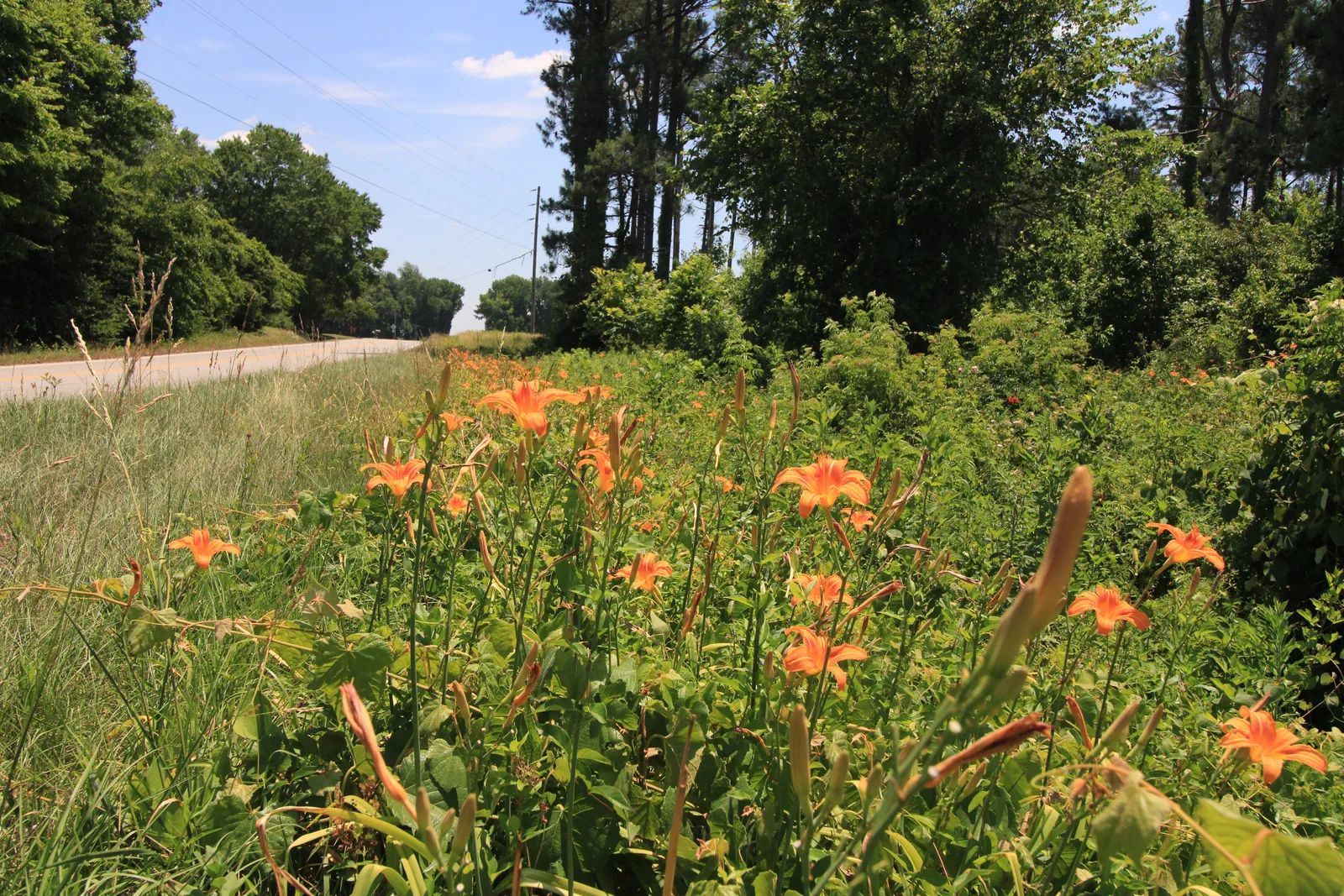
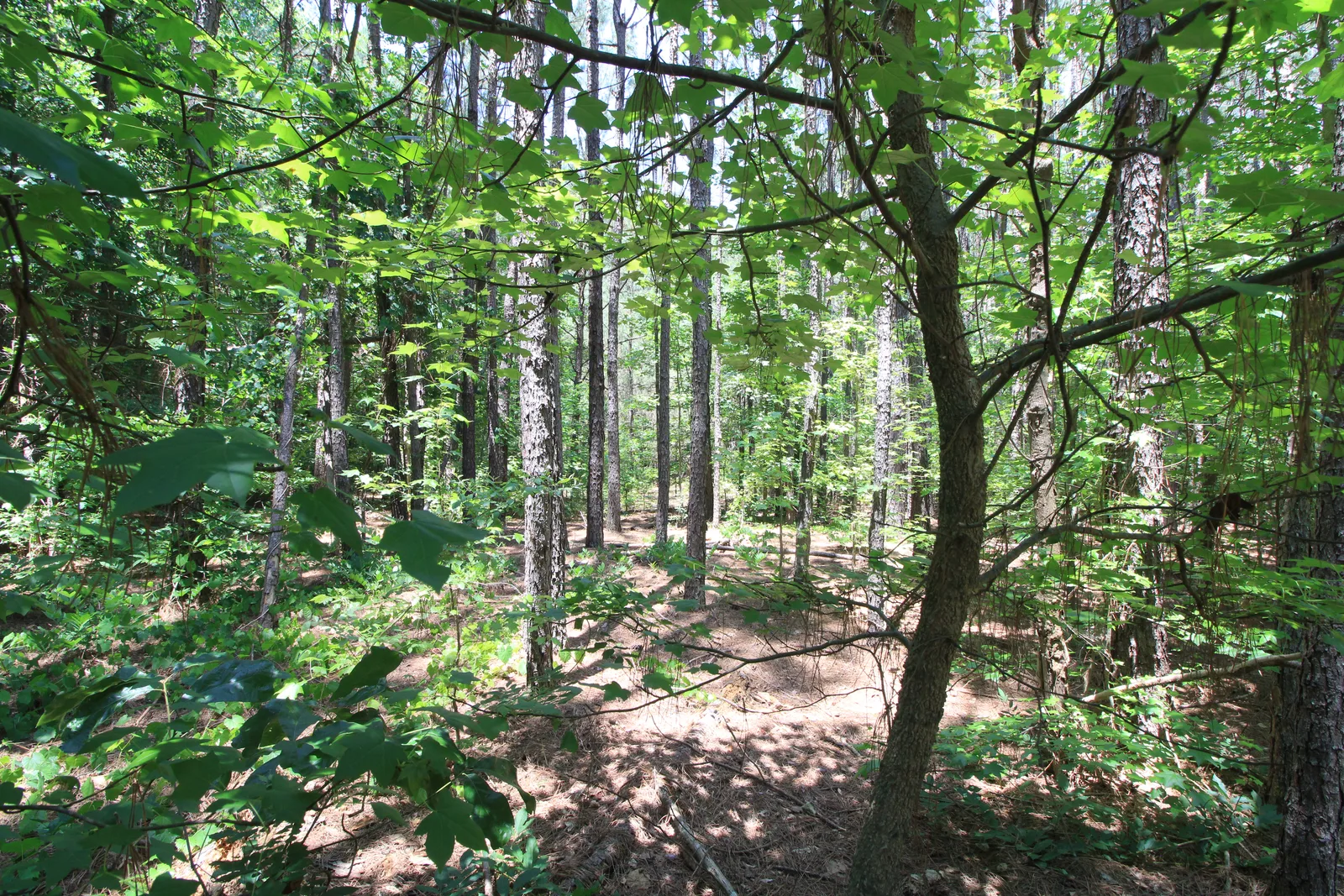
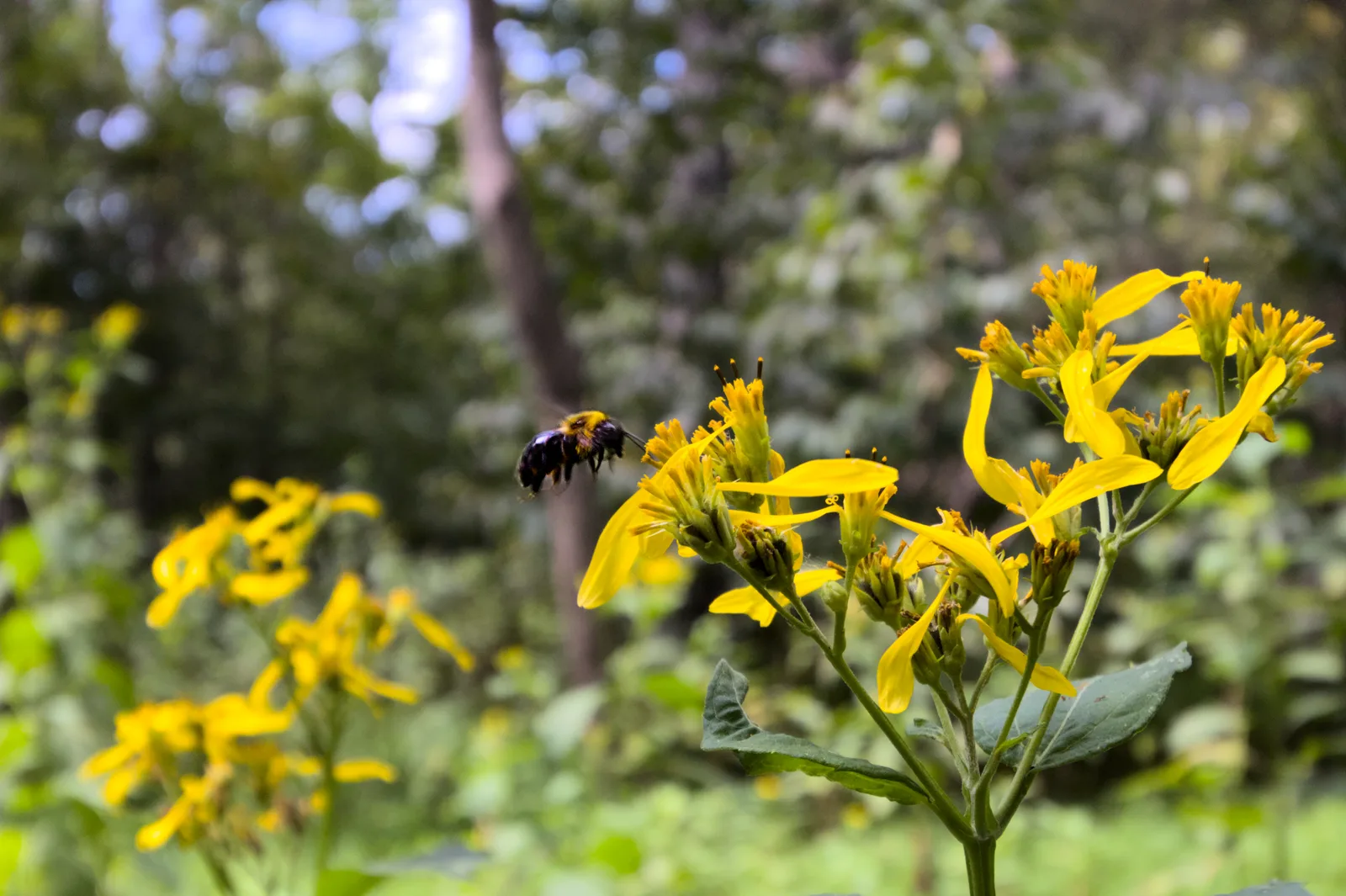
Scout & Aerial provides aerial and ground photography for vacant land, acreage, rural property, development parcels, and land listings throughout Central North Carolina and Southern Virginia.
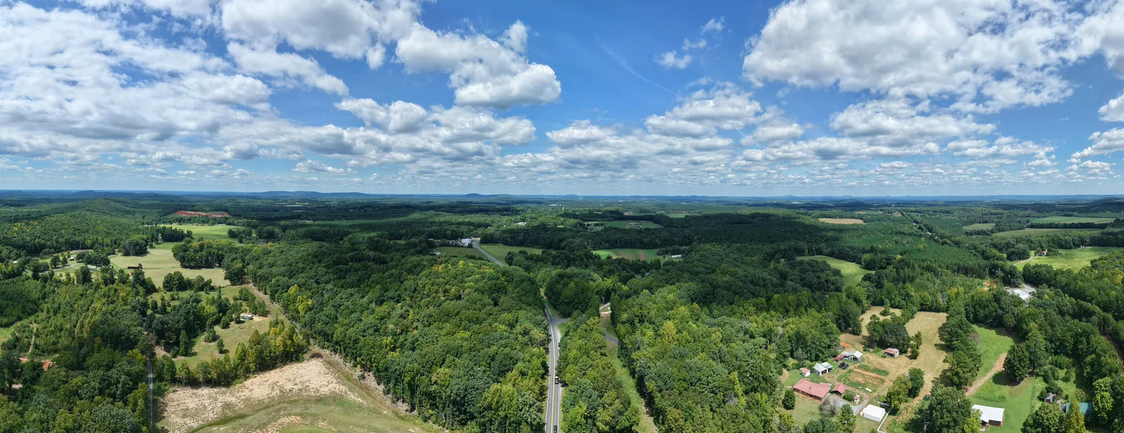
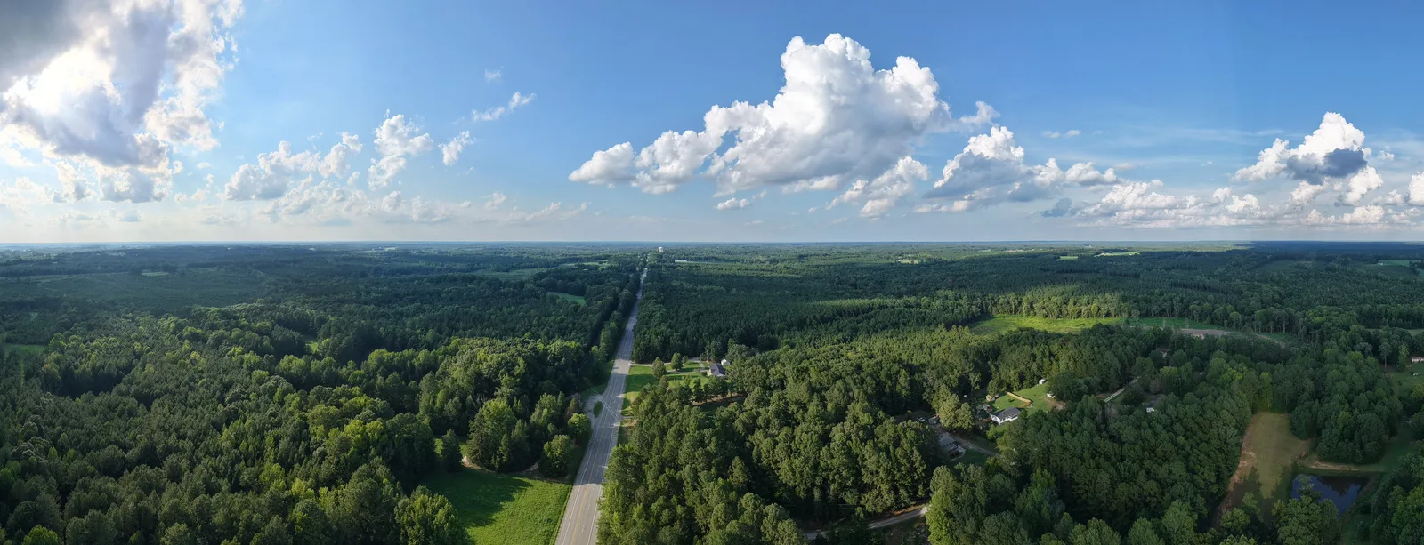
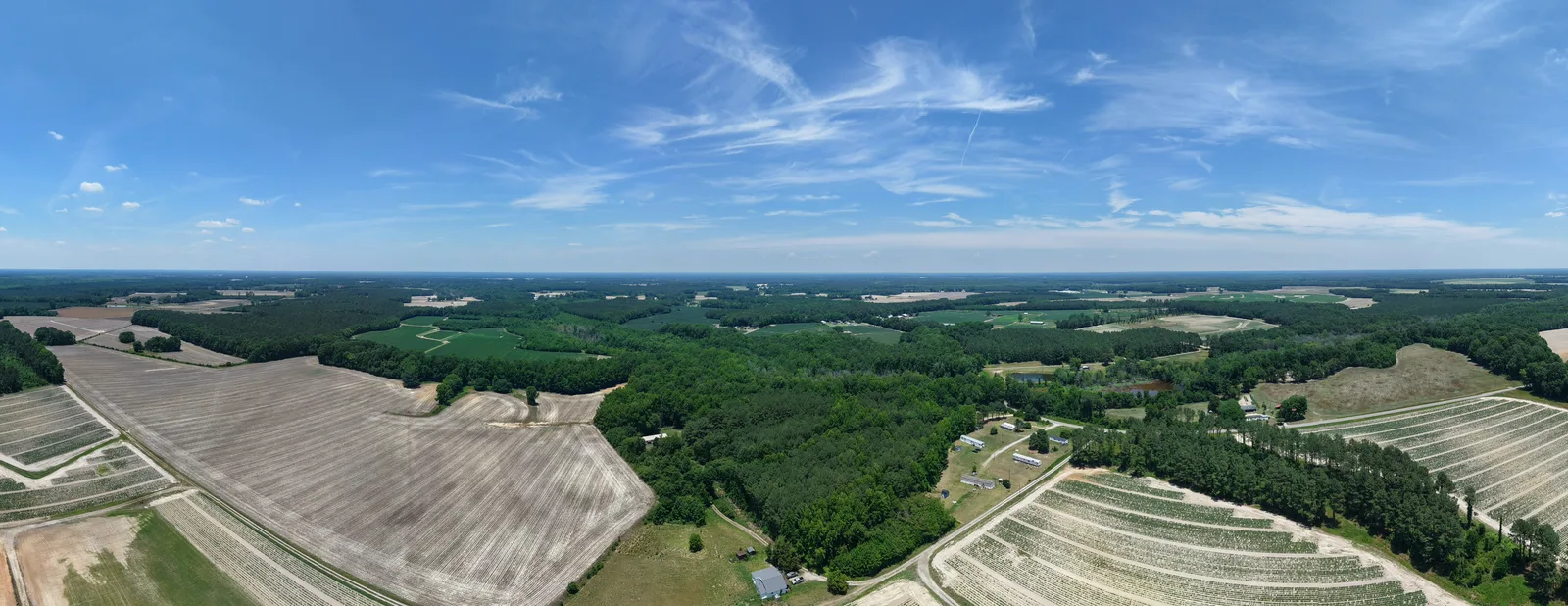
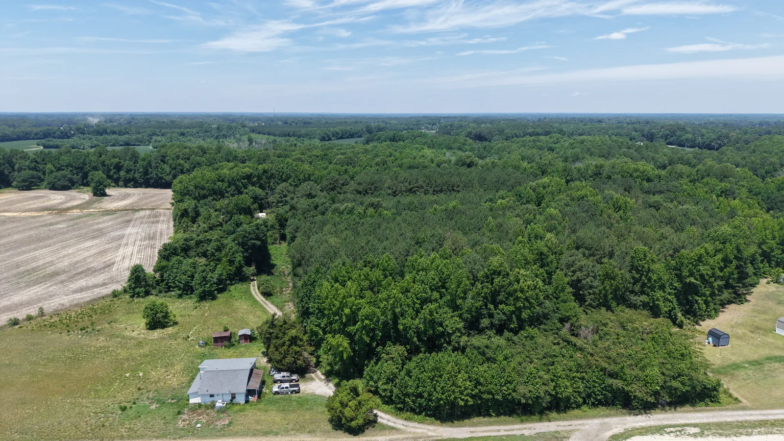
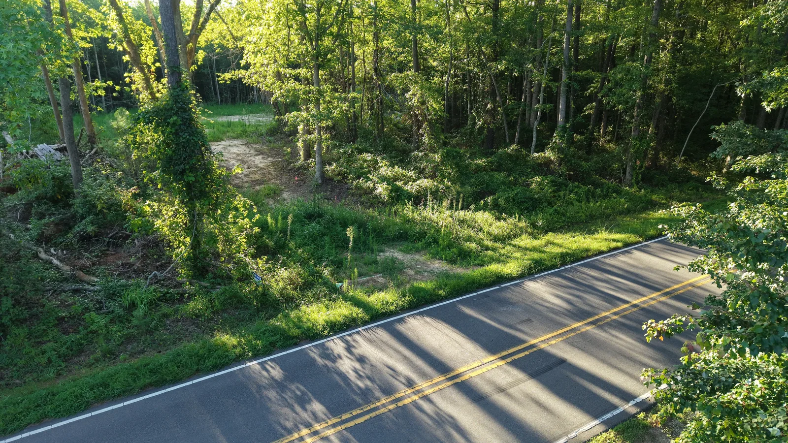
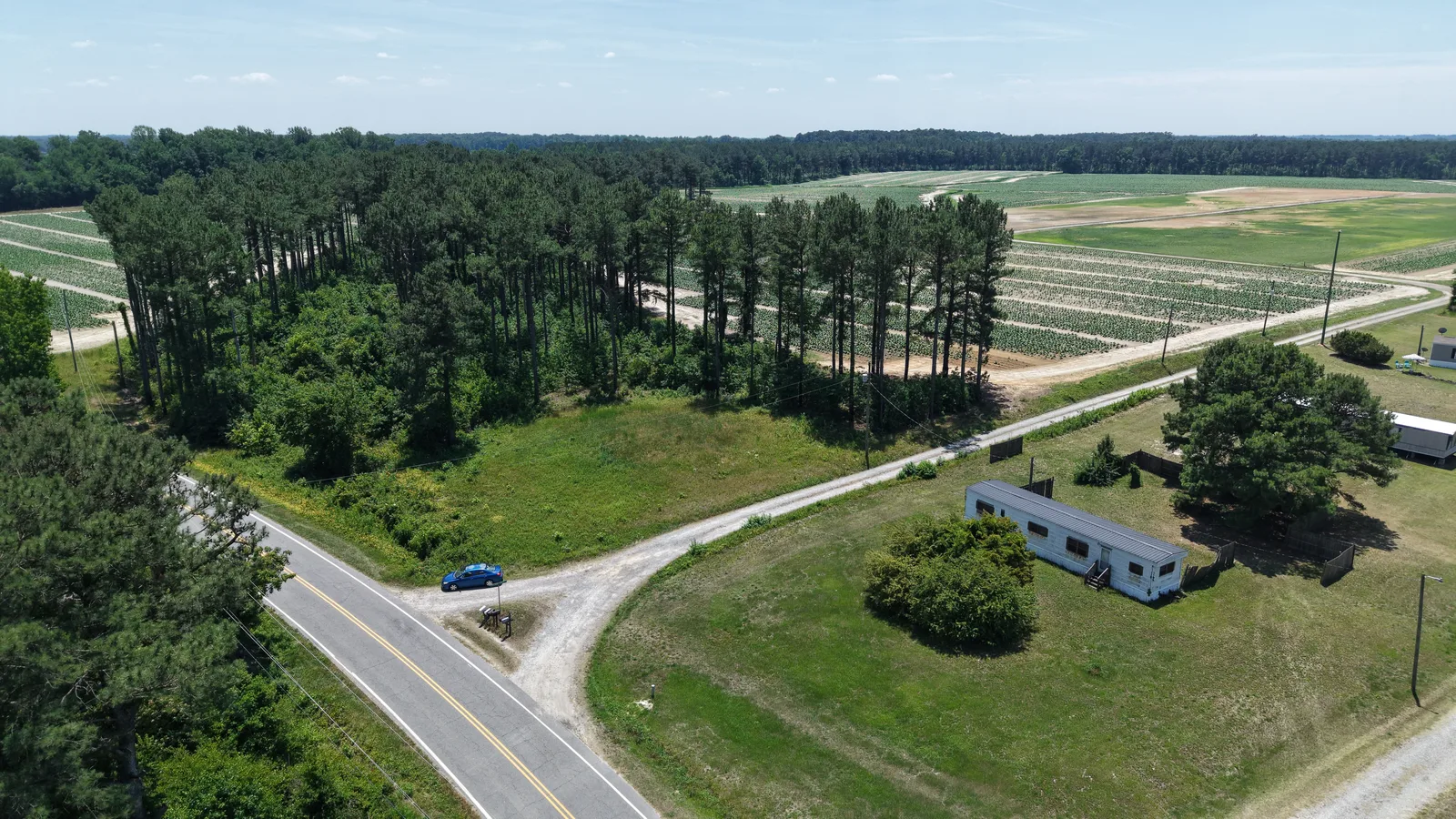
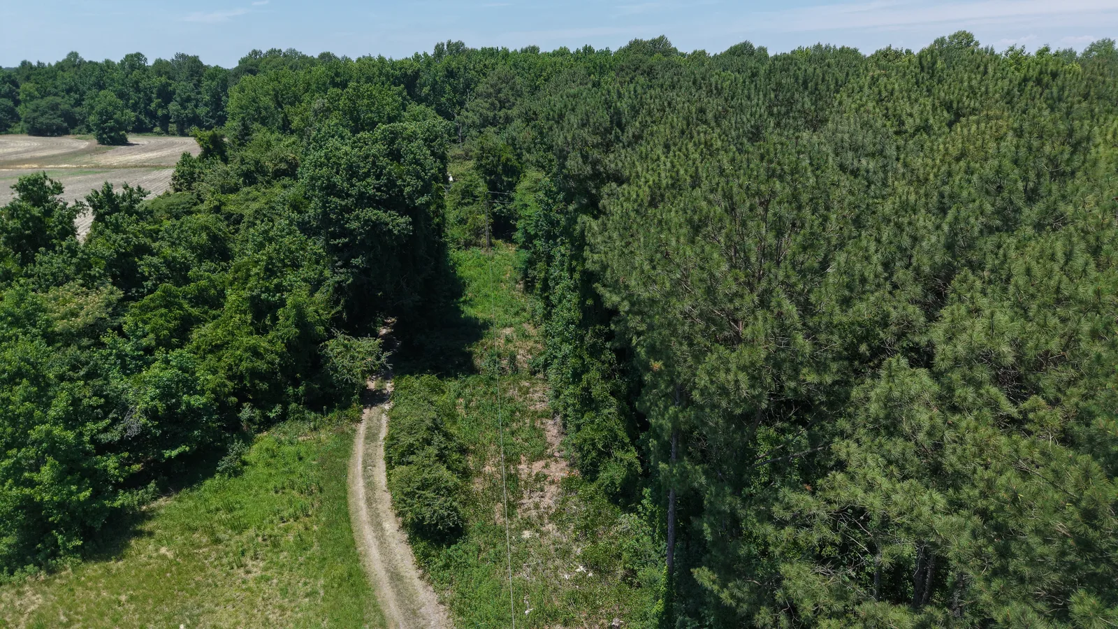
Coverage can include high-altitude context views, lower oblique aerials, top-down imagery, road frontage, entrances, terrain, clearings, neighboring development, and other features that help viewers understand the property.
Service areaCentral North Carolina and Southern Virginia, including the Winston-Salem–Greensboro/Burlington–Raleigh corridor, Charlotte, and Roanoke.
Property lines, markers, and acreage shown in these examples are approximate visual references for marketing and documentation. They are not a land survey or a determination of legal access.
The setting. The access. The details.
Select any image for a closer look
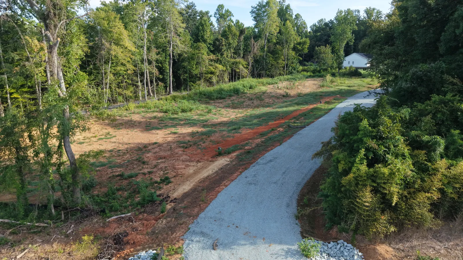
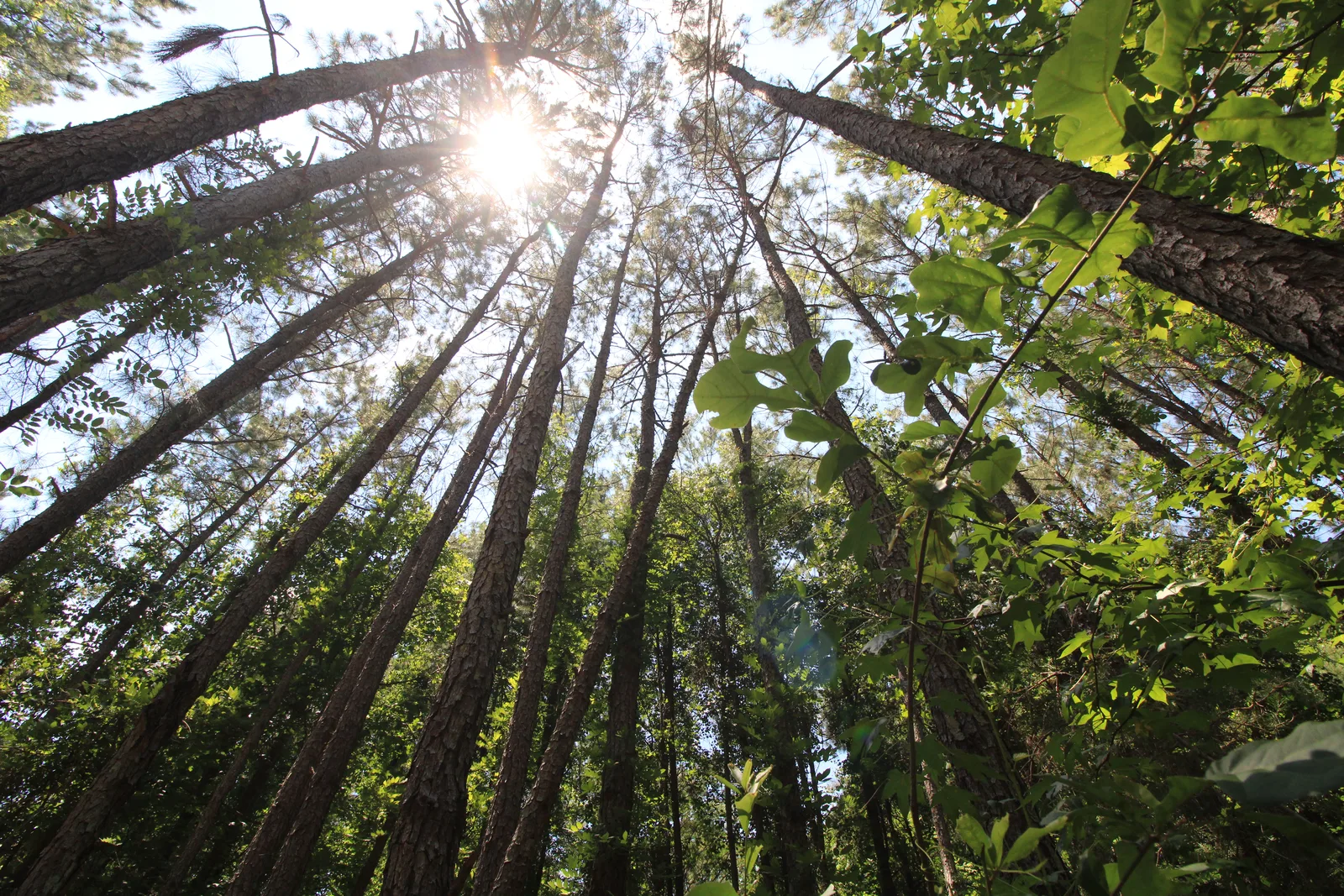
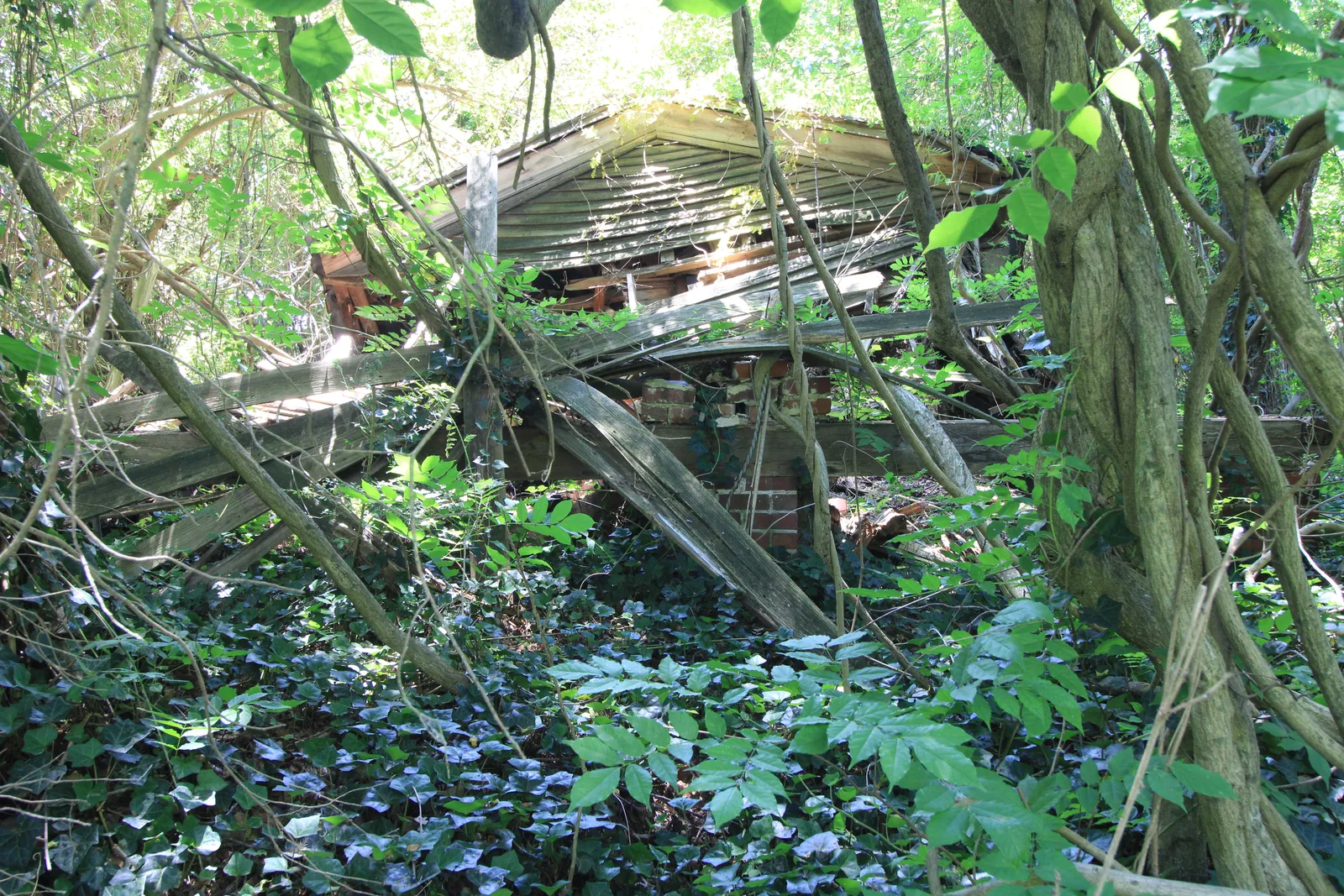
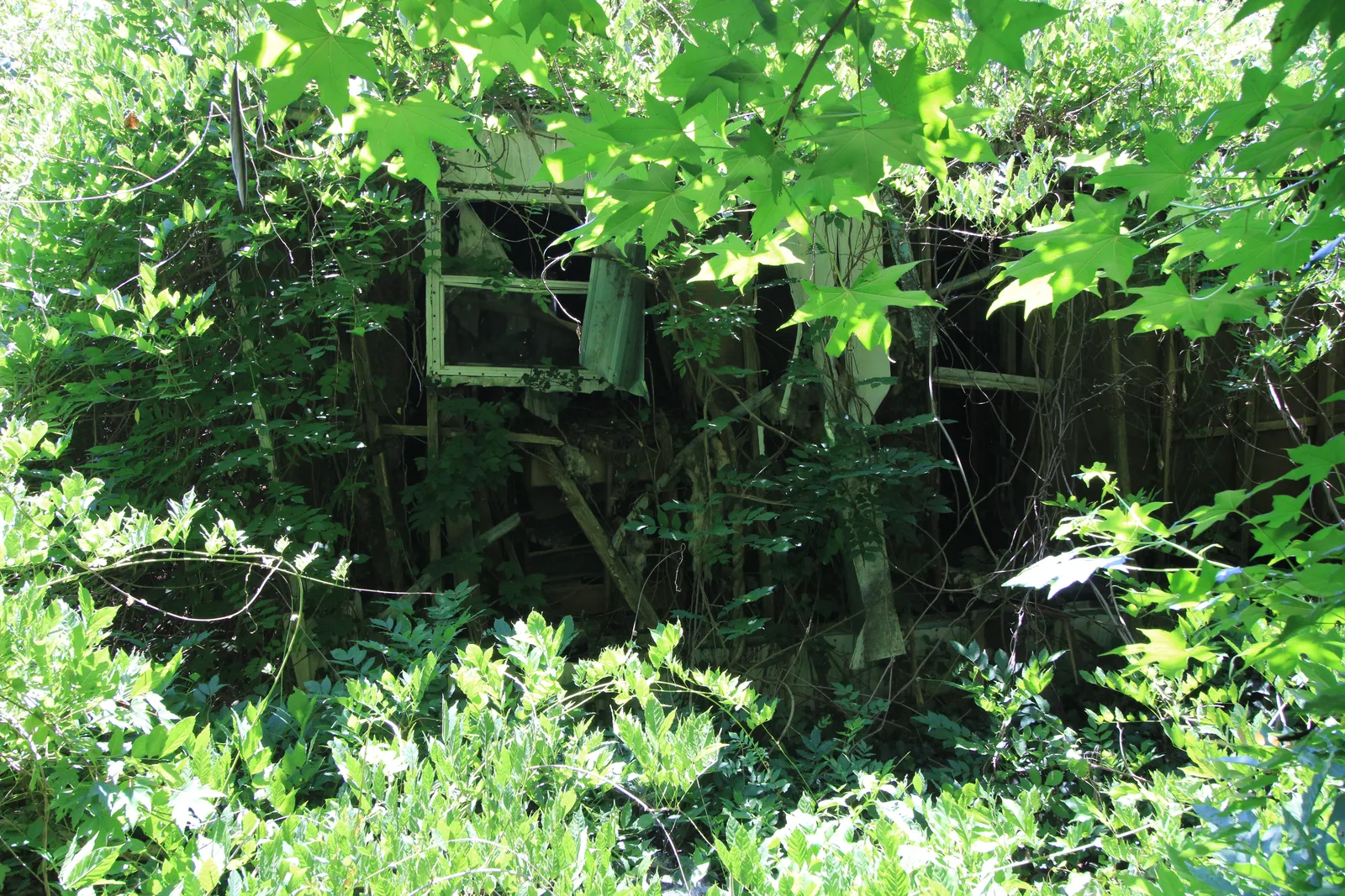
+Aerial view with an approximate property outline+Overhead land context with an approximate outline+Overhead view of a corner parcel with an approximate outline+Panoramic view over open land and trees+Panorama showing the road and surrounding woodland+Wide view of fields and woodland+Lower aerial view across the property+Wide aerial view of the surrounding landscape+Roadside access context+Property approach and nearby road+Aerial view along a wooded access route+Clearing and road seen from above+Tree canopy from the ground+Existing structure among the trees+Existing trailer among vegetation+Ground view along an access road+Flowers along the roadside+Woodland detail at ground level+Wildflowers and a pollinator
Your next project
Let’s get a better view.
Explore services, build an estimate, and choose a time. Have something a little different in mind? Get in touch.